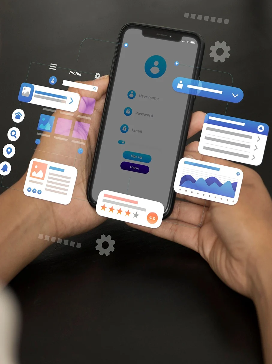
Location-based AR is a type of Augmented Reality that does not use markers and is based on the user’s geographical location. With this technology, there is no need for unique visual markers to determine where virtual objects should appear.
A location based augmented reality app uses GPS, accelerometers, digital compasses, and other technologies to determine a device’s location and orientation in space. Most modern smartphones are equipped with these sensors, allowing users to take advantage of this powerful technology. In general, there are four main types of augmented reality:
1. Marker-Based AR
Marker-based Augmented Reality is also known as image-recognition AR or recognition-based AR. This type of AR focuses on recognizing a specific object or image and then displaying additional information about it. Marker-based AR can be used in various ways across different industries.
The technology identifies what is in front of the camera and displays relevant information on the screen. A marker is used to recognize the object, after which a 3D model of the object is displayed on the screen. Users can view the object from different angles and interact with it by moving or rotating the marker. This gives the AR application a reference point for displaying virtual content accurately.
2. Marker-less or Location-Based AR
Marker-less Augmented Reality is one of the most popular forms of AR technology. It is also known as location-based AR because it relies on smartphone features that can determine a user’s location.
This type of AR is commonly used in travel and navigation applications. It helps users discover nearby points of interest and relevant information based on their location. The technology works by utilizing data from the device’s GPS, digital compass, and accelerometer to estimate where the user is looking. It then overlays location-specific information about the surrounding environment onto the camera view.
3. Projection-Based AR
Projection-based AR is one of the simplest forms of augmented reality. It works by projecting light onto a surface and allowing users to interact with the projected content.
This technology creates interactive experiences by projecting virtual objects or images onto real-world surfaces. Users can interact with these projections through touch or movement. Projection-based AR can also create visual illusions regarding an object’s position, depth, and orientation. As a result, users can better visualize and analyze complex structures. This technology is increasingly being used in large-scale AR deployments and interactive installations.
4. Superimposition-Based AR
Superimposition-based AR provides an enhanced view of an object by replacing all or part of the original view with an augmented version.
This type of AR relies heavily on object recognition technology. Once an object is identified, the application overlays additional information or a modified view of the object, providing users with a richer and more informative experience.
Most augmented reality applications today fall into the first two categories: marker-based AR and location-based AR. Marker-based AR primarily uses image recognition to display virtual content on top of specific objects, while location-based AR uses geographical data to deliver context-aware experiences.
Table of Contents
How do geo-based augmented reality apps work?
Location-based AR apps can only work if geopositioning and augmented reality technologies are used correctly and show accurate data. This kind of AR app uses what are called “points of interest,” which are special geo markers.
First, the app needs to figure out what these geo markers are. This means finding out where the phone is right now. GPS is one of the most well-known technologies for this, but there are others, including ones that can be used indoors. AR apps use data from a digital compass, accelerometers, and GPS. When the app finds a particular point of interest, it makes augmented reality elements appear on top of the real world. These elements include music, animations, videos, images, and text. Some apps let users move virtual objects around, but some don’t.
Effects of LBAR applications on the future:
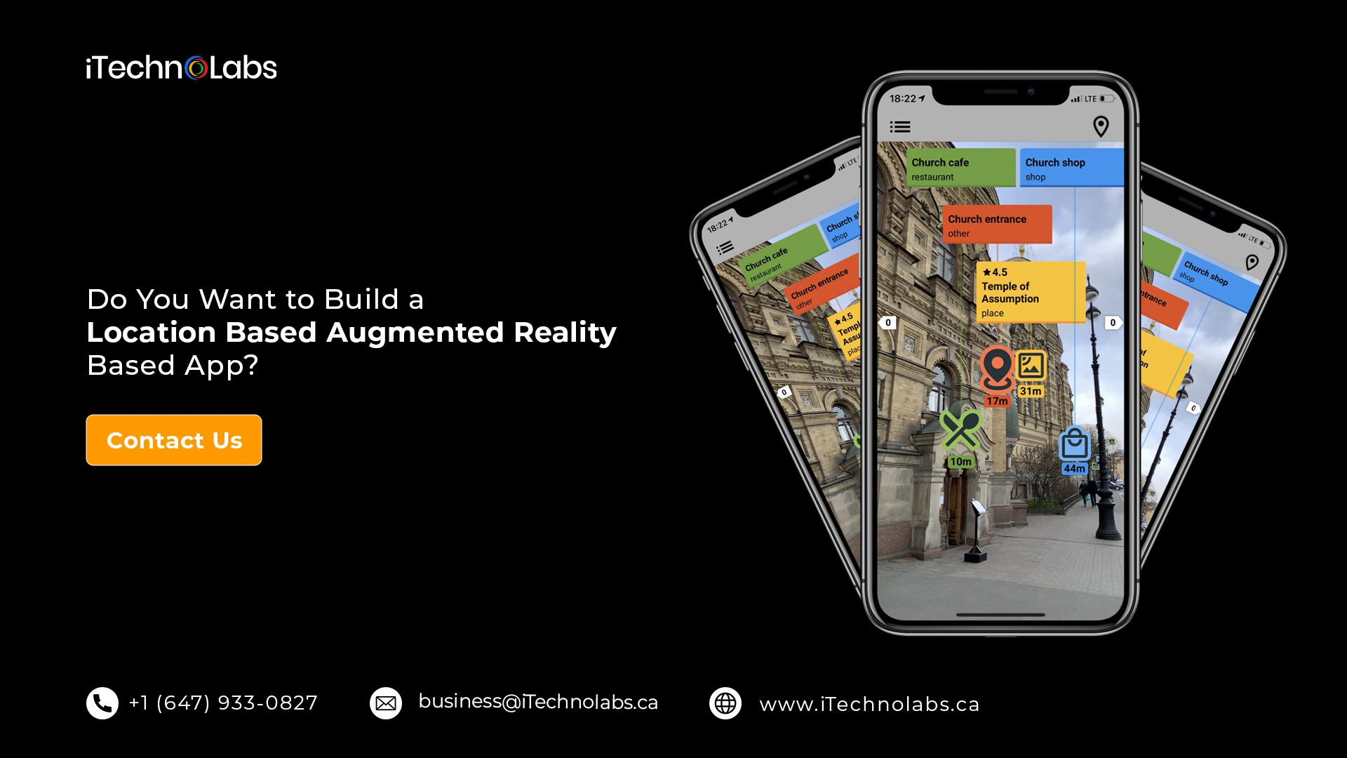
Using markerless location based augmented reality apps can be a great way to make traveling more fun. So, it is now used a lot, especially in this area. It helps tourists find new places to go and find the most popular things to see quickly on their phones in real-time. Augmented reality based on where you are can be used in navigation apps to make them much more helpful. For example, a traveler can point the camera at the street to find the closest restaurant.
How to make a Location Based Augmented Reality App based on where you are?
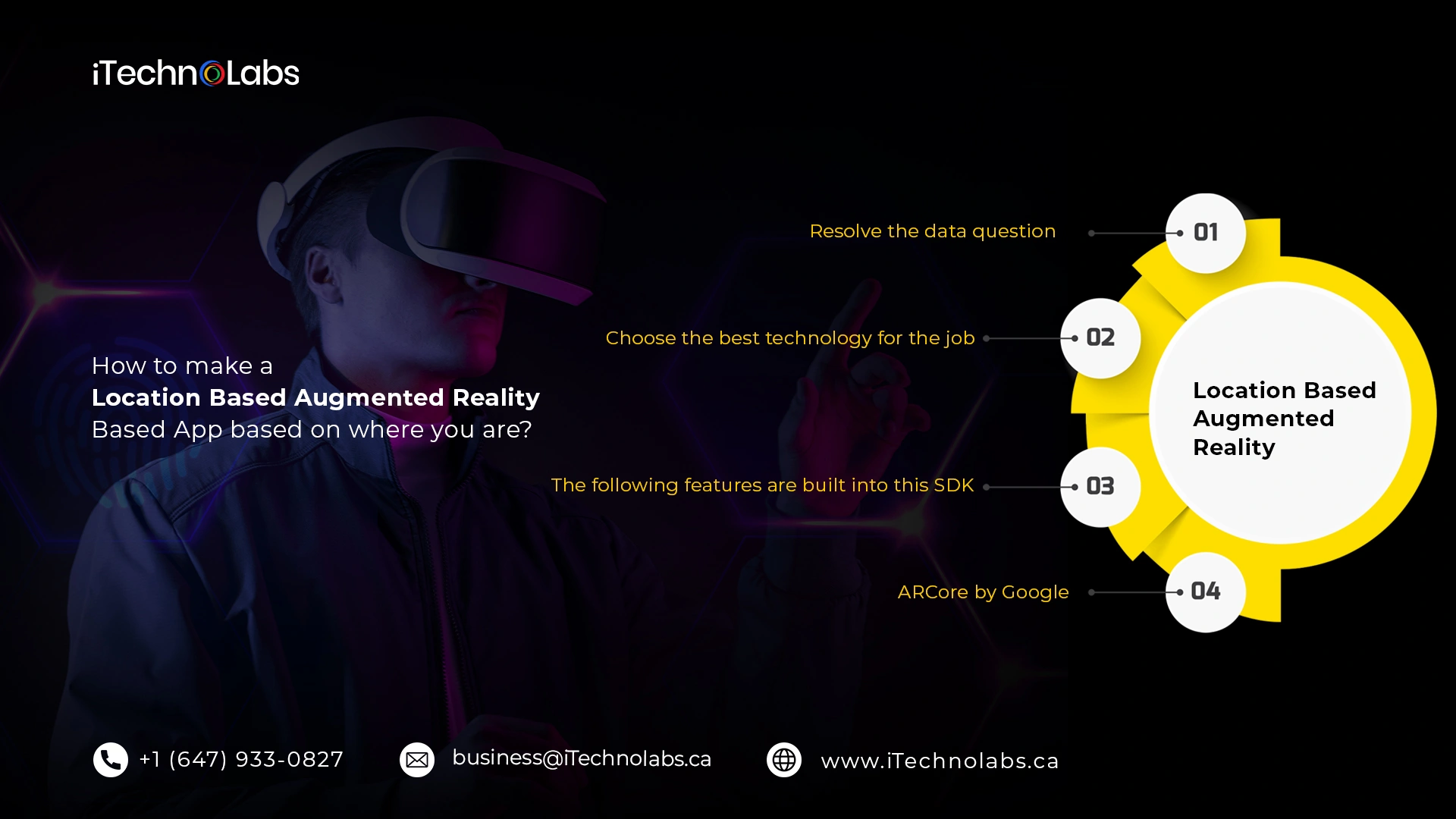
Now we’ll talk about how to make the Location Based Augmented Reality App.
1. Resolve the data question
First, you should decide what information you want to add to the real world. I mean, it’s one thing to work with text data or put images on top of each other. But working with custom 3D objects is a whole different thing. You might need to use Unity or another engine in this case.
2. Choose the best technology for the job.
The tech part is essential. I’ve already talked about well-known technologies like ARCore and ARKit. Now is the time to look at them with more care.
3. The following features are built into this SDK:
- Computer vision and camera data are needed to get an accurate picture of the environment;
- Support for environments that are both horizontal and vertical;
- Setting the amount of light on virtual models by figuring out the level of lighting;
- Both the Unreal Engine and the Unity Engine are supported.
4. ARCore by Google
Mapping is probably one of the best things about this platform since you’ll use it a lot when making your location-based AR apps. It can track movement and find surfaces that are both vertical and horizontal.
Also, the SDKs’ Cloud Anchors let two different users interact with AR objects on their smartphones and see changes from different angles.
Here are its most essential parts:
- Ability to track and recognize large objects, like buildings and landscapes;
- SLAM stands for simultaneous localization and mapping.
- Plugin for Unity;
- Frameworks such as Xamarin and Cordova can be used.
Well-known Location Based Augmented Reality App
-
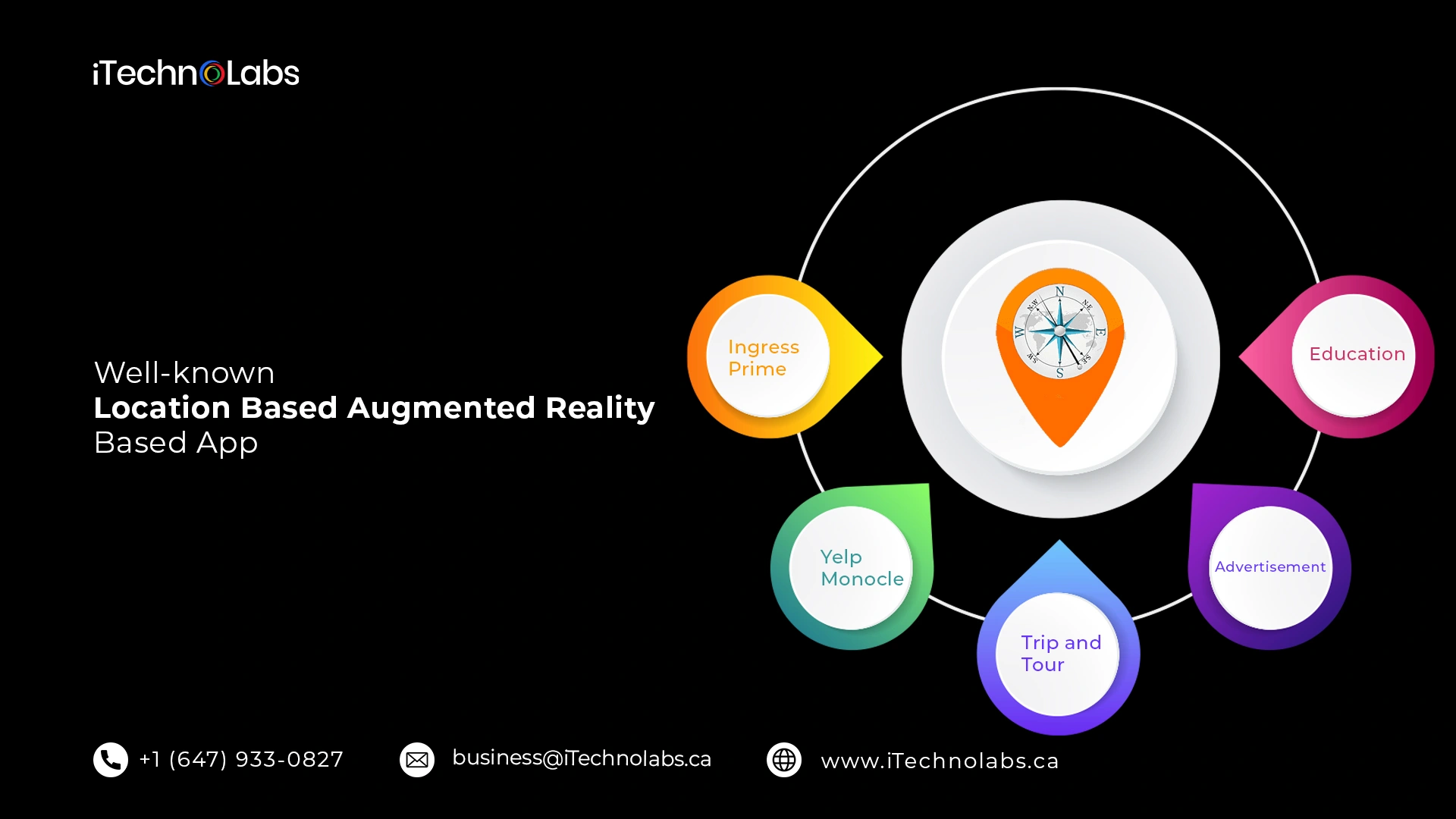
Ingress Prime
Ingress Prime was one of the first mobile games to use augmented reality to show where you are. Late in 2013, Ingress, the first version of Ingress Prime, came out for mobile devices. The game lets players use GPS on their phones to find and connect with portals in the real world.
-
Yelp Monocle
Yelp is another AR mobile app that has been around since 2009 and has location-based features. This app uses the phone’s compass and GPS to help you find your way. It shows information about nearby restaurants, bars, and other places by using GPS to get the information it needs. Aside from that, it also shows how the site is rated and what people have said about it. Yelp Monocle helps people get around in cities they don’t know well.
When a user plays a location-based AR game, the mobile device’s sensors send geo-marker information to the game’s server. This helps the server find points of interest and create virtual content with which the user can interact in the real world.
-
Trip and Tour
Location-based augmented reality is a big step forward for the tour and travel business. It has become a great way to improve the travel experience. Also, it makes it easier for tourists to find new places to visit. Users can quickly find the most popular places to visit in real-time using the augmented reality app. This makes the navigation system that comes with the navigation mode work better.
-
Advertisement
AR helps the advertising world in every way. With this immersive technology, you can promote products and services in a whole new way. AR with location-based services is giving businesses new ways to market their brands. It works better than the old system of ads in newspapers and magazines. AR technology makes people more likely to buy goods or services online.
-
Education
AR technology adds animated, colorful 3D or 2D objects to make learning fun for students. When it came out, augmented reality played a big part in the education field. AR education apps that use markers are becoming more popular in this field. With the ways location-based AR can be used, education is getting bigger. AR (marker-based) is an excellent way for students to learn more about complicated subjects in fields like astronomy.
Do You Want to Build a Location-Based Augmented Reality App?
Location-aware devices are a big part of that list. As big data analytics matures, location intelligence will likely become an even more critical part of any organization’s digital transformation toolbox.
Also, read: Augmented Reality Development Guide: Technologies, Devices and Platforms
Frequently Asked Questions For Location Based Augmented Reality App
1. What is location-based augmented reality?
Location-based augmented reality (AR) uses GPS, sensors, and real-world location data to place digital content onto a user’s physical environment. Unlike marker-based AR, it does not require QR codes or image markers, making it ideal for navigation, gaming, tourism, and interactive experiences.
2. Which industries use location-based AR apps?
Location-based AR apps are widely used across industries such as gaming, tourism, real estate, retail, education, navigation, and marketing. These applications help businesses create immersive experiences, deliver location-specific information, improve customer engagement, and enhance decision-making through interactive digital content.
3. What are some examples of location-based AR apps?
Popular location-based AR apps include Pokémon GO, Google Maps Live View, Snapchat Landmarkers, and Ingress. These applications combine GPS, mapping technologies, and augmented reality to overlay digital elements onto real-world locations, enhancing navigation, exploration, gaming, and social interactions.
4. What are the benefits of location-based AR apps?
Location-based AR apps increase user engagement by blending digital experiences with real-world environments. They improve navigation, support interactive learning, enable personalized marketing campaigns, enhance tourism experiences, and provide businesses with innovative ways to connect with customers in specific locations.
5. How much does it cost to develop a location-based AR app?
The cost of developing a location-based AR app typically ranges from $30,000 to $300,000 or more. Development costs depend on factors such as app complexity, AR features, GPS integration, mapping services, backend infrastructure, platform selection, and ongoing maintenance requirements.
6. What technologies are used in location-based AR app development?
Location-based AR apps are commonly built using ARKit for iOS, ARCore for Android, Unity or Unreal Engine, GPS services, mapping APIs, cloud infrastructure, and motion-tracking sensors. These technologies work together to deliver accurate, immersive, and real-time augmented reality experiences.
7. What is the difference between marker-based and location-based AR?
Marker-based AR relies on predefined images, QR codes, or visual markers to trigger digital content. In contrast, location-based AR uses GPS, sensors, and geographic coordinates to place virtual objects in specific real-world locations without requiring any physical marker.
8. How long does it take to develop a location-based AR app?
Developing a location-based AR app generally takes between 3 and 9 months. The timeline depends on factors such as feature complexity, AR functionality, platform requirements, third-party integrations, testing needs, and the overall scope of the project.